Category:Images of maps of settlements
Jump to navigation
Jump to search
This category is for images of maps that depict settlements such as cities, towns and villages.
Subcategories
This category has the following 2 subcategories, out of 2 total.
Media in category "Images of maps of settlements"
The following 5 files are in this category, out of 5 total.
-
Gallisport map SWAJ6.jpg 439 × 733; 120 KB
-
Iritsa.jpg File missing
-
Isttu Village.jpg File missing
-
JanosMap.jpg File missing
-
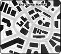
VarnoMarket-GG8p84.jpg 789 × 703; 146 KB


