Category:Images of maps of Outer Rim Territories settlements
Jump to navigation
Jump to search
This category is for images of maps depicting settlements in the Outer Rim Territories.
Media in category "Images of maps of Outer Rim Territories settlements"
The following 17 files are in this category, out of 17 total.
-
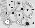
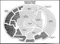 Celanon city.jpg 1,187 × 873; 256 KB
-
 Corint map.jpg 645 × 385; 102 KB
-
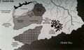
 Drepplin.jpg 492 × 700; 109 KB
-
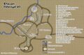 Efavan.jpg 945 × 620; 443 KB
-
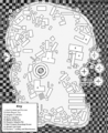
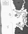
 Ewok village map.jpg 557 × 450; 162 KB
-
 Ewok Village plan.jpg 881 × 588; 184 KB
-
 Fitsaymap.jpg 1,089 × 787; 387 KB
-
 GelgelarFreePortMap-PlattStarport.png 1,434 × 1,755; 3.55 MB
-
 GrandBespinHotel-Gamer3.png 400 × 171; 664 KB
-
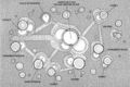
 Grig.jpg 1,419 × 786; 185 KB
-
 Kala'uun Starport 1.jpg 672 × 832; 78 KB
-
 Kala'uun Starport 2.jpg 568 × 696; 53 KB
-
Karran village.jpg File missing
-
 Montrol City.jpg 530 × 1,230; 114 KB
-
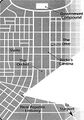
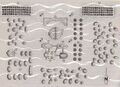
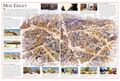 Mos Eisley map.jpg 2,560 × 1,736; 1.67 MB
-
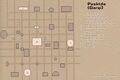 Pesktda.jpg 928 × 620; 308 KB
-
 Port Haven Map.jpg 736 × 896; 105 KB


