Category:Images of maps of Colonies structures
This category is for images of maps depicting structures located in the Colonies.
Media in category "Images of maps of Colonies structures"
The following 6 files are in this category, out of 6 total.
-
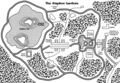 Alaphoe Gardens map.jpg 873 × 605; 188 KB
-
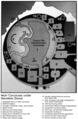 Crispos Isle.jpg 598 × 916; 118 KB
-
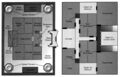 HejaranCastleFloorplan-TapaniSectorInstantAdventures.jpg 881 × 564; 95 KB
-
Hungry Herglic floorplan.jpg File missing
-
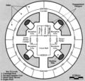 Melantha Hunting Lodge.jpg 592 × 560; 69 KB
-
 Starseeker.jpg 518 × 622; 67 KB


