Category:Images of maps of the Kathol sector
Jump to navigation
Jump to search
This category is for maps depicting the Kathol sector.
Media in category "Images of maps of the Kathol sector"
The following 32 files are in this category, out of 32 total.
-
 Atlas early republic.jpg 985 × 828; 227 KB
-
 Brolsam.jpg 169 × 188; 11 KB
-
 Charis.jpg 198 × 137; 5 KB
-
 Corjain.jpg 201 × 118; 12 KB
-
 Galtea.jpg 155 × 93; 3 KB
-
 Gandle Ott.jpg 228 × 145; 13 KB
-
Ivatch.jpg File missing
-
Kal'Shebbol.jpg File missing
-
 Kathol incomplete map.png 1,372 × 720; 639 KB
-
Kathol Outback.jpg File missing
-
Kathol Republic.jpg File missing
-
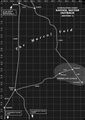
 Kathol Rift.png 960 × 1,360; 751 KB
-
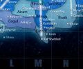 Kathol sector EAOC.jpg 250 × 211; 13 KB
-
Kathol Sector-Background2 File missing
-
Kathol Sector.png File missing
-
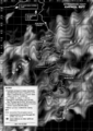
 Kathol.jpg 1,249 × 1,764; 424 KB
-
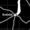 Kolatill.jpg 250 × 250; 19 KB
-
Mairne.jpg File missing
-
 Marcol-Void.jpg 600 × 850; 240 KB
-
 Oon Tien.jpg 249 × 182; 5 KB
-
 Outer Rim Sectors.jpg 1,350 × 1,728; 492 KB
-
Peirs.jpg File missing
-
Pembric II.jpg File missing
-
Pimbrellan League.jpg File missing
-
Qektoth Confederation.jpg File missing
-
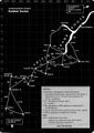
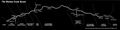 Rimma Trade Route.jpg 1,570 × 386; 55 KB
-
Sebiris.jpg File missing
-
Shintel.jpg File missing
-
Torize.jpg File missing
-
 Trition.jpg 260 × 94; 10 KB
-
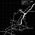 Tritiontraderoute.jpg 942 × 954; 291 KB
-
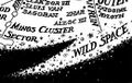 Wildspace1.jpg 260 × 164; 35 KB


