Category:Images of maps of Outer Rim Territories structures
Jump to navigation
Jump to search
This category is for images of maps depicting structures located in the Outer Rim Territories.
Media in category "Images of maps of Outer Rim Territories structures"
The following 21 files are in this category, out of 21 total.
-
 27th Hour Social Club.jpg 830 × 698; 98 KB
-
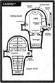
 Ackbars seapod layout.jpg 454 × 499; 126 KB
-
 AClevel1.jpg 1,724 × 1,132; 236 KB
-
 AClevel2.jpg 1,808 × 1,105; 227 KB
-
 Dark Temple map.jpg 1,024 × 1,024; 475 KB
-
 Docking Bay 94 map.jpg 616 × 864; 68 KB
-
 Gerb burrow.jpg 887 × 490; 68 KB
-
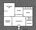
Imperial Biological Research Center.jpg File missing
-
Imperial Salvage Station.jpg File missing
-
 Lord Rha's Mountain Keep.jpg 568 × 840; 79 KB
-
 LuckyDespotMap.jpg 456 × 686; 46 KB
-
 Lylek nest.png 491 × 565; 377 KB
-
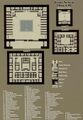
 MScantina schematics.jpg 925 × 1,024; 1.12 MB
-
New Republic Embassy.jpg File missing
-
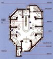
 Research facility.jpg 870 × 729; 57 KB
-
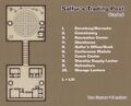 Salfur's Trading Post.jpg 769 × 620; 211 KB
-
 Temple Plan large.jpg 933 × 1,344; 728 KB
-
 Temple.jpg 750 × 616; 56 KB
-
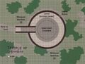 TempleofKooroo-Gamer8.jpg 819 × 619; 96 KB
-
 ThrusterBurn.jpg 562 × 752; 77 KB
-
 Void Demon Pirate Base.jpg 1,020 × 839; 168 KB


